|
> |
|
|
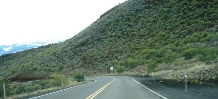
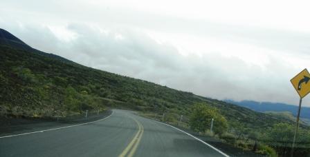
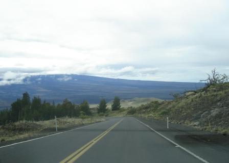
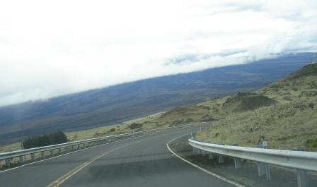
This site has photos and descriptions of Saddle Road (Hwy 200) on the Big Island of Hawaii. It includes a photo tour of a side trip to the Mauna Kea Visitor's Center , which is 6 miles up above Saddle Road. The west side has two entrances(6 miles apart) on Highway 190 between Waimea and Kona. The east side entrance is in Hilo at Komohana and Puainako Extension. Saddle Road has been completely transformed in the past 7 years with rerouting, expanding and repaving on both sides of the road. Old photographs are replaced on this page as new ones are taken. UPDATE: The new Daniel K Inouye Highway is a 3 lane road which bypasses the rough road and single lane bridges. The 6.5 mile road has a 55 mph speed limit, wide shoulder, and ramps for trucks to slow down. Saddle Road on Hilo side is mostly newly paved and in excellent condition. There is a portion of windy and narrow two-lane road at mile marker 11. Cautions:
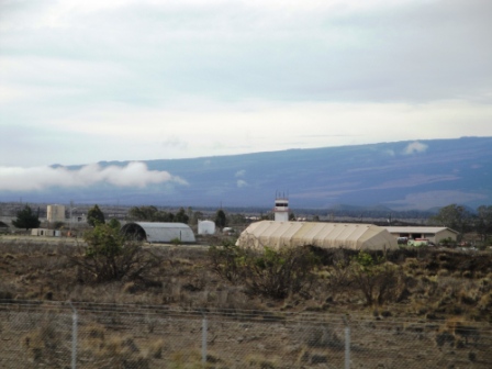
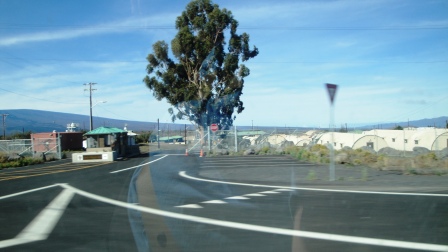
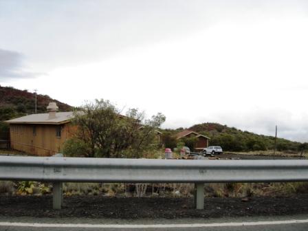
Gate of the Military Facility.
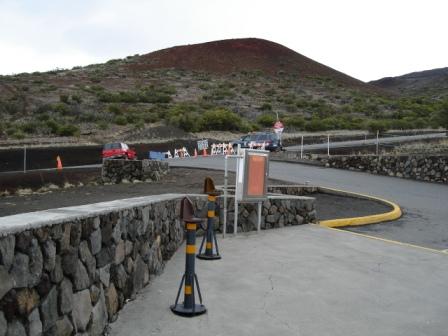
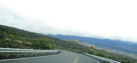
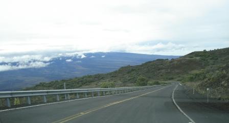
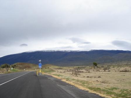
Mauna Kea State Park is past the gate on the Hilo side. There is a bathroom there. Bring a coat, it can be really cold. Emergency telephone boxes are along the side of the road where cell service is unavailable. A huge green rock erupts from the ground almost directly across from the Mauna Kea Access Road. There is a bathroom there. The temperature there was 49 degrees at 7:56AM in March. 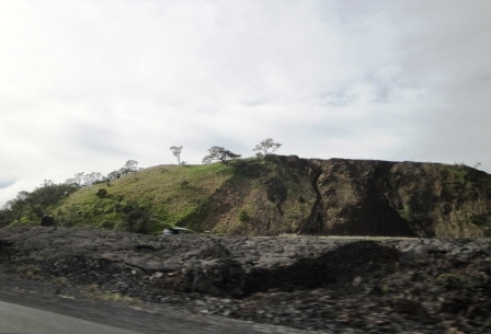
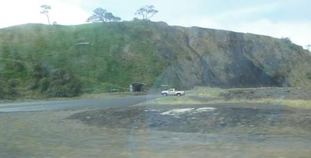
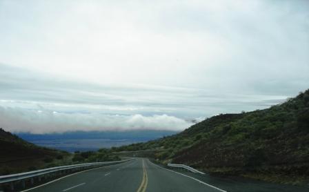
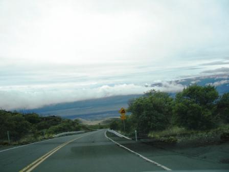
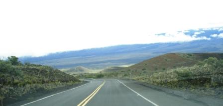
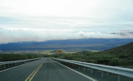
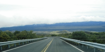
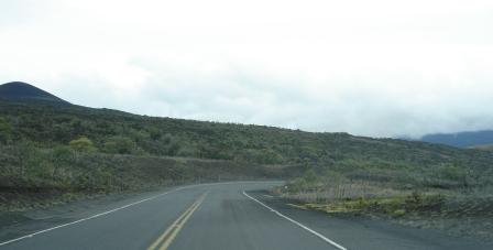
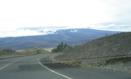
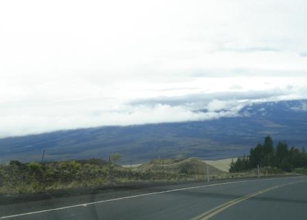
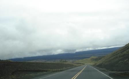
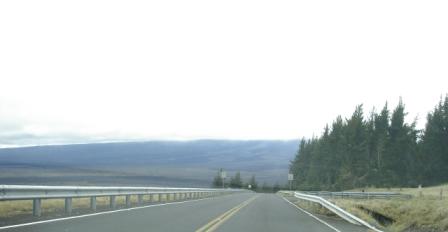
Past the Mauna Kea Access Road, toward Hilo, there are huge lava fields. . The road has three lanes and has been upgraded. 
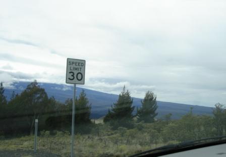
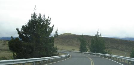
After mile 11, at 8:13AM the road narrows toward Hilo and becomes wiggly; the speed limit is 35mph. Houses are located on the road above Hilo and at mile marker 7 is the top of the Kaumana Road. From there the highway spreads out, the speed limit increases and the road ends at Komohana in Hilo. Note: If you want to get to the Afook Civic Auditorium or Edith Kanaka'ole Stadium from Saddle Road we usually take this route:
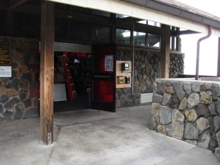
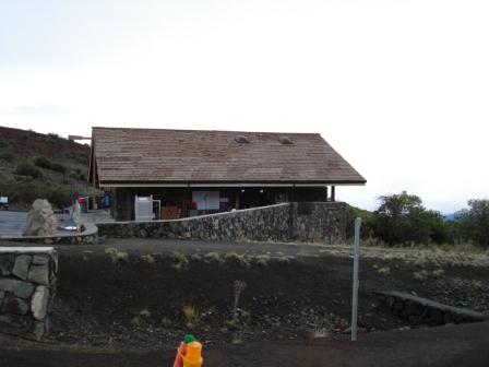
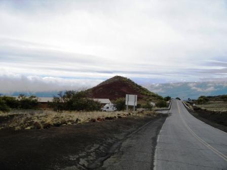
Mauna Kea Visitor's Center above Saddle Road
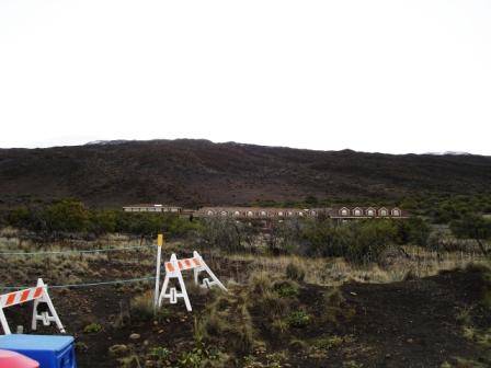
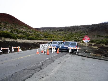
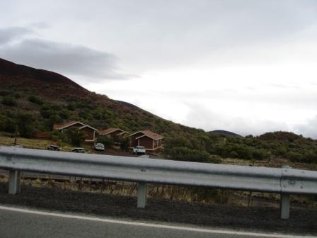
Below is a picture of housing for Astronomers and telescope workers located next to the Visitor Center. Visitor Center parking lot. Visitors Center from the parking lot. Bathroom in Visitors Center - uses filtered lights The international telescopes are located at 14,000 feet accessible by a dirt road next to the Visitor's Center. A Road Barricade was set up this day due to ice and snow on Mauna Kea. The road up to the summit is rugged to drive over. Four wheel drives are required. At the top of the summit, the roads are paved. Campground near Visitors Center Below is a photo tour of the road from the Visitors Center down to Saddle Road. It was driven in the lowest gear going about 20mph (17% grade).
Copyright 2014-2017
|